
Real Estate Aerial Imaging
Showcase properties like never before with Blueprint Aerial's Real Estate Imaging
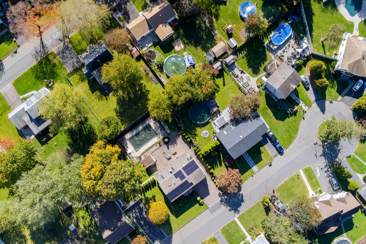
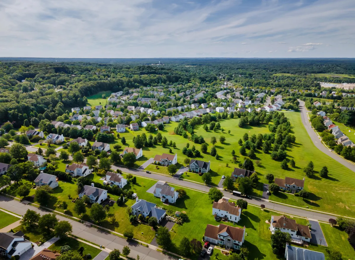
Discover the Power of Aerial Perspectives
At Blueprint Aerial, we transform the way properties are showcased with our expert Real Estate Aerial Imaging services. Whether you’re a realtor, property developer, or homeowner, our high-resolution aerial photos and videos bring your listings to life, offering potential buyers a unique bird’s-eye view.
Why Choose Aerial Imaging for Real Estate?
Highlight Property Features: Showcase expansive layouts, landscaping, and architectural details with stunning clarity.
Location Matters: Capture nearby amenities, neighborhoods, and scenic surroundings to tell a complete story.
Boost Engagement: Aerial visuals grab attention, generate more clicks, and help properties stand out in competitive markets.
What We Offer
High-Resolution Photography: Crystal-clear aerial shots that highlight every detail.
Professional Videography: Smooth, cinematic videos that elevate your property’s appeal.
Tailored Content: Customized angles and perspectives to suit your unique listing needs.
Perfect for:
Residential and commercial property listings
Luxury estates and developments
Land sales and investments
Let’s Soar Together
Whether you’re looking to showcase your property, map your project, or create stunning visuals, Blueprint Aerial is here to make it happen. Reach out to learn more about how we can elevate your vision with our expert aerial imaging services.
Testimonials
Martin D., Project Manager, Skyline Builders

"Blueprint Aerial provided us with exceptional aerial views of our construction site. The progress shots were crystal clear and helped us keep stakeholders updated in real time. Their attention to detail and professionalism made the process seamless. Highly recommend their services!"
Sarah L., Real Estate Agent, Luxe Properties
"The aerial shots Blueprint Aerial captured for our real estate listings completely transformed our marketing efforts. The stunning drone footage showcased the property’s best features, including the surrounding area, and helped us close deals faster. Top-notch service!"
Michael R., Land Surveyor
"We needed accurate and detailed mapping for a large-scale project, and Blueprint Aerial exceeded our expectations. Their drone-mapping technology delivered precise, high-resolution data that saved us time and money. They’re the go-to experts for aerial mapping!"
Precision Aerial Data for Ground-Level Success
© 2024 Blueprint Aerial - All Rights Reserved

© 2026 Company Name - All Rights Reserved, consectetur adipiscing elit. Maecenas commodo suscipit tortor, vel tristique sapien