
Construction Progress Aerial Monitoring
Blueprint Aerial provides precise construction progress monitoring with high-resolution aerial imaging, ensuring clear insights and seamless project management.
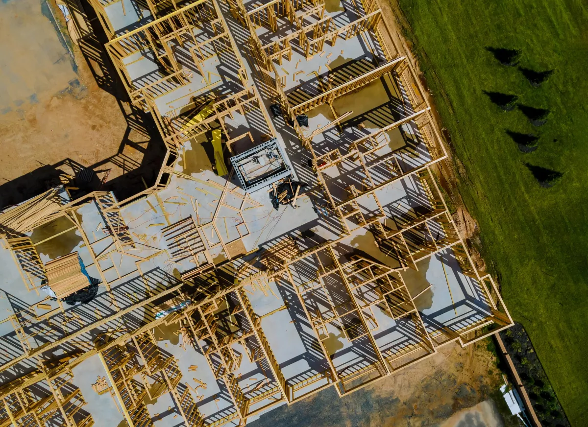
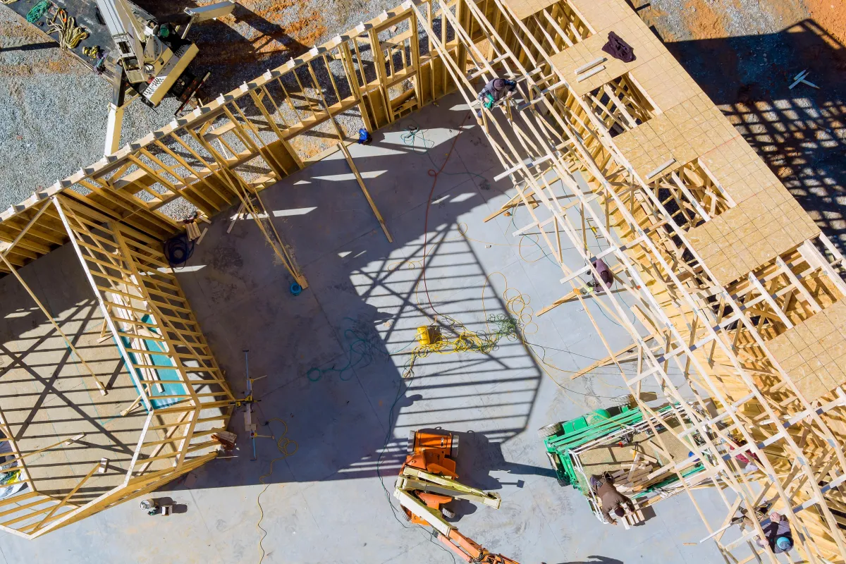
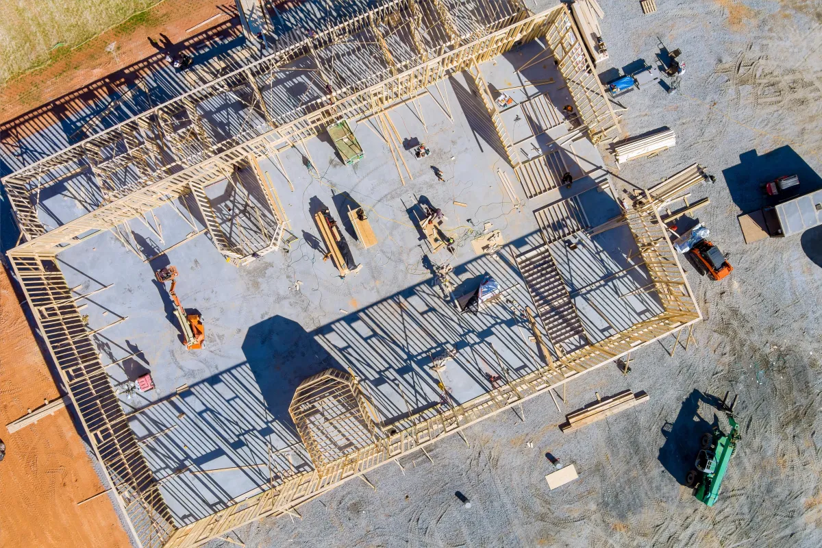
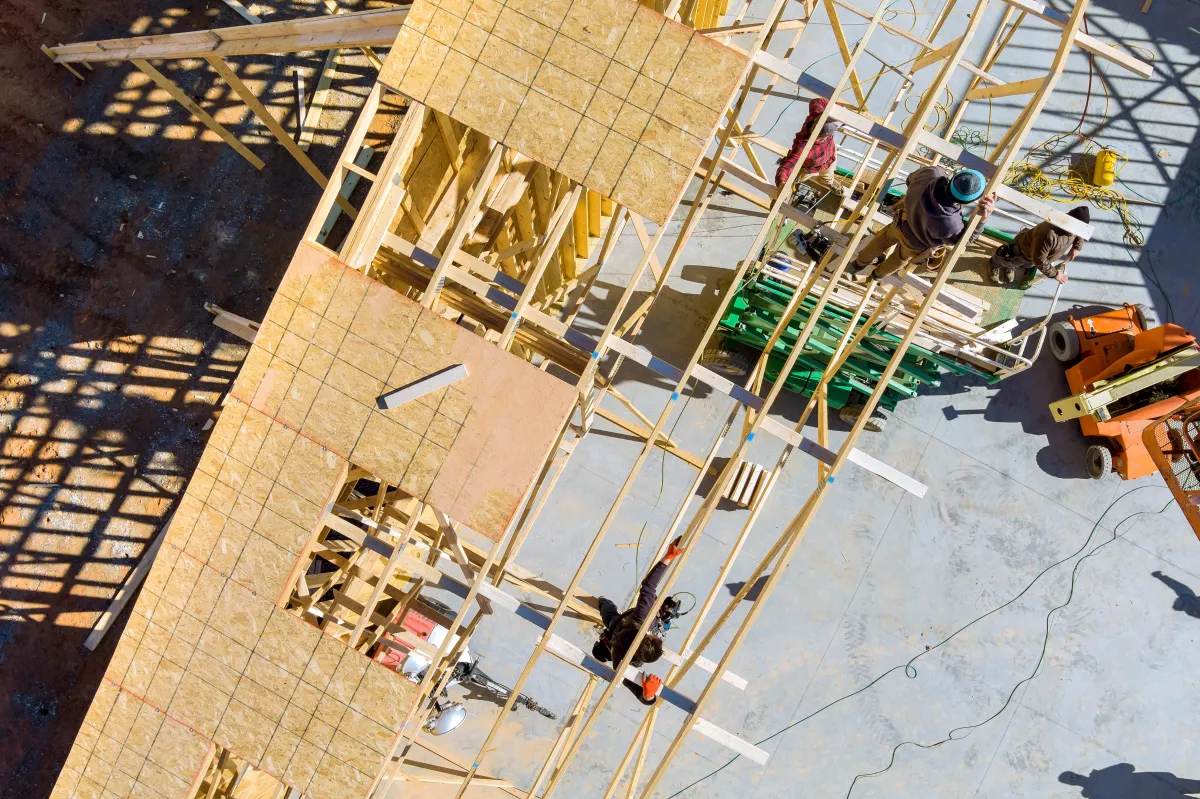
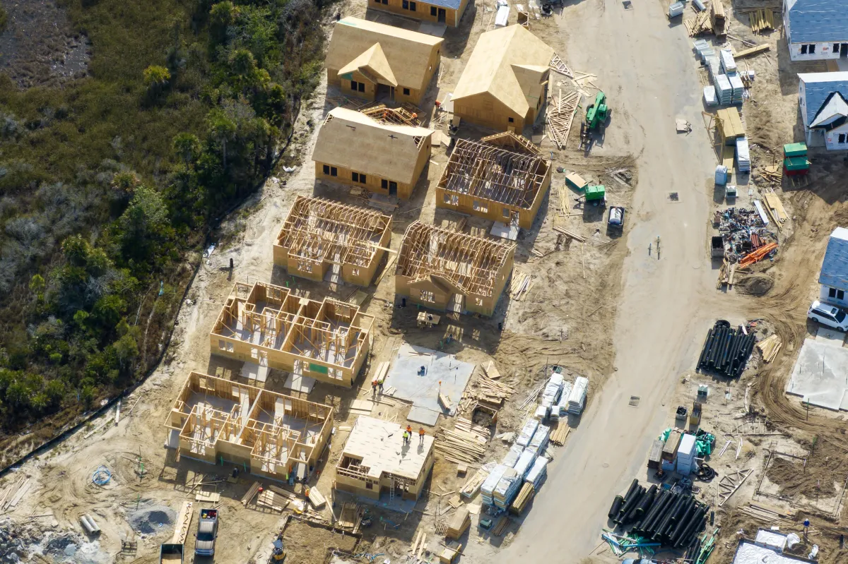
Monitor Your Project from New Heights
Blueprint Aerial provides cutting-edge Construction Progress Aerial Monitoring to keep you informed and in control. With high-resolution aerial imaging, we capture the full scope of your project at every stage, delivering visuals that ensure transparency, efficiency, and accountability.
Why Choose Aerial Monitoring for Construction?
Comprehensive Viewpoints: Gain a complete overview of your site, including layouts, equipment, and ongoing activities.
Streamline Communication: Share clear visuals with stakeholders, contractors, and teams for better collaboration.
Track Progress with Accuracy: Document every phase of construction to ensure timelines and milestones are met.
Enhance Safety: Identify potential risks and hazards from an elevated perspective.
What We Deliver
High-Resolution Images: Capture sharp, detailed photos of your site.
Time-Lapse Videos: Watch your project’s transformation over time.
Custom Reports: Receive tailored insights and visuals to match your specific project goals.
Perfect for:
Construction managers and developers
Architects and engineers
Site supervisors and project planners
Stay on Track with Confidence
Our Construction Progress Aerial Monitoring services provide the clarity and control you need to ensure your project stays on time and within budget. Click below to schedule a session and see your project from a whole new perspective!
Testimonials
Martin D., Project Manager, Skyline Builders

"Blueprint Aerial provided us with exceptional aerial views of our construction site. The progress shots were crystal clear and helped us keep stakeholders updated in real time. Their attention to detail and professionalism made the process seamless. Highly recommend their services!"
Sarah L., Real Estate Agent, Luxe Properties
"The aerial shots Blueprint Aerial captured for our real estate listings completely transformed our marketing efforts. The stunning drone footage showcased the property’s best features, including the surrounding area, and helped us close deals faster. Top-notch service!"
Michael R., Land Surveyor
"We needed accurate and detailed mapping for a large-scale project, and Blueprint Aerial exceeded our expectations. Their drone-mapping technology delivered precise, high-resolution data that saved us time and money. They’re the go-to experts for aerial mapping!"
Precision Aerial Data for Ground-Level Success
© 2024 Blueprint Aerial - All Rights Reserved

© 2026 Company Name - All Rights Reserved, consectetur adipiscing elit. Maecenas commodo suscipit tortor, vel tristique sapien