
Blueprint Aerial: Precision Aerial Data for Ground-Level Success
Experience unmatched precision with Blueprint Aerial’s professional drone photography and videography. From real estate to events and commercial projects, we deliver stunning visuals and actionable data to elevate your success. Reach new heights with us today!
Explore Our Sky-High Aerial Solutions
Blueprint Aerial specializes in high-resolution aerial photography and videography, offering tailored solutions for real estate, event coverage, construction monitoring, and land mapping from breathtaking perspectives.
Sky-High Expertise: Transforming Your Vision with Stunning Aerial Imagery
Elevate your perspective with our expert drone photography and videography for real estate, events, construction, and land mapping.
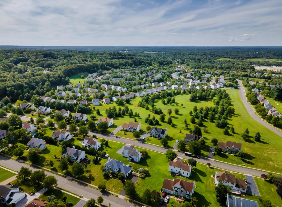
Real Estate Aerial Imaging
Blueprint Aerial offers high-resolution aerial imaging for real estate, enhancing property listings with detailed photos and videos of layouts and neighborhoods.
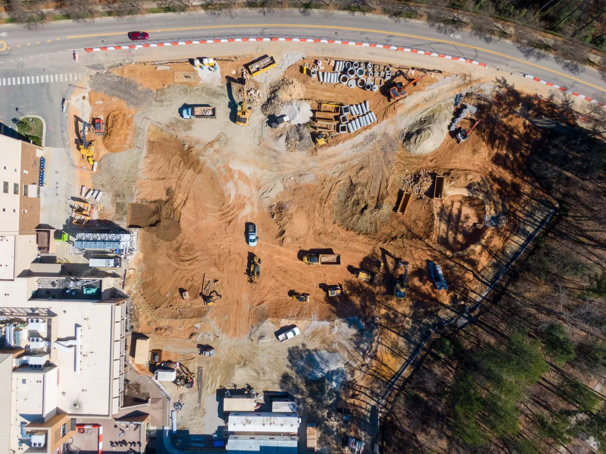
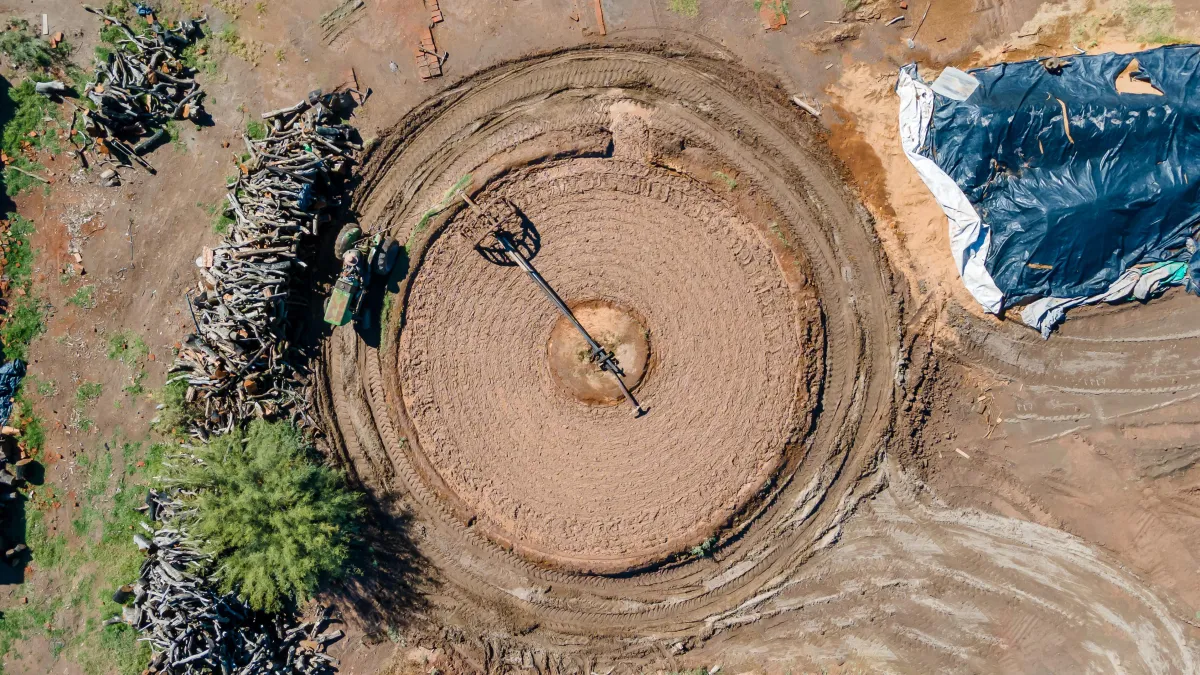
Construction Progress Aerial Monitoring
Blueprint Aerial offers construction site monitoring to track progress, ensure compliance, and enhance safety via high-quality aerial imagery for informed project management.
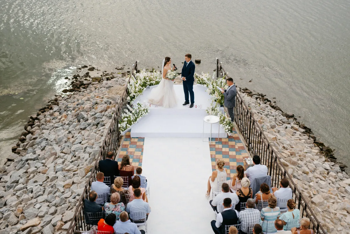
Comprehensive Event Aerial Coverage
Capture your events grandeur with aerial photos and videos; perfect for weddings, corporate gatherings, and festivals, offering views that ground-based photography can't achieve.
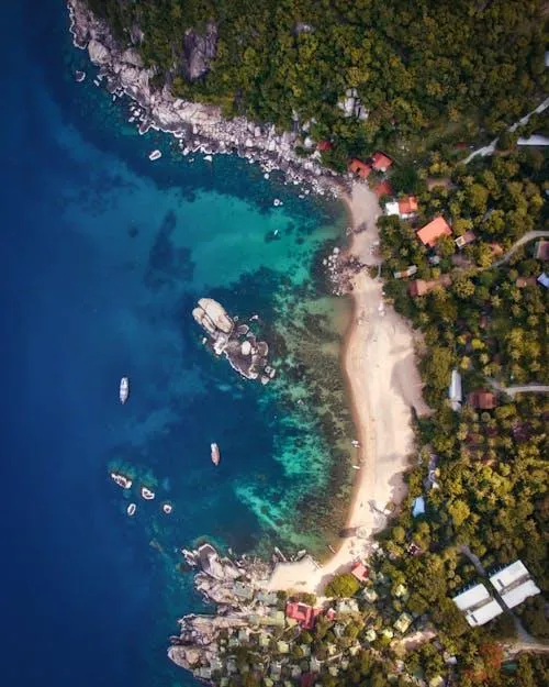
Precision Land Surveying Services
Blueprint Aerial offers precise drone-based land surveying and mapping services, ideal for environmental studies, agriculture, and urban planning with high accuracy and detail.
FAQs
Your Aerial Questions, Answered by Experts
How does weather affect aerial photography sessions?
Weather plays a significant role in aerial photography. We avoid flying in rainy or extremely windy conditions to ensure the safety of our equipment and to guarantee high-quality images. We will reschedule the session to a more suitable day at no extra cost if adverse weather conditions are forecasted.
Are you licensed and insured for commercial drone operations?
Absolutely, Blueprint Aerial is fully licensed under the FAA Part 107 regulations. Additionally, we carry comprehensive liability insurance for all our aerial operations, ensuring peace of mind for our clients.
What areas do you service?
We are based in Brandon, Mississippi and we offer our services across the entire region or country. However, travel outside our standard service area may incur additional travel fees.
How long will it take to receive our photos and videos after the shoot?
Typically, our turnaround time for delivering edited photos and videos is 5-7 business days. We also offer expedited processing for an additional fee if you need your images and videos sooner.
What resolution can we expect from the aerial photos and videos?
Our drones capture images in high-resolution 20MP for photos and 4K for videos. These high-quality formats ensure that you receive clear, detailed images suitable for print or digital use.
Can we request specific shots or angles during the aerial photography session?
Yes, we encourage our clients to discuss their specific requirements and desired shots with us before the session. We strive to capture your vision from the sky and are happy to accommodate custom shot lists and angles to ensure your satisfaction.
Testimonials
Martin D., Project Manager, Skyline Builders

"Blueprint Aerial provided us with exceptional aerial views of our construction site. The progress shots were crystal clear and helped us keep stakeholders updated in real time. Their attention to detail and professionalism made the process seamless. Highly recommend their services!"
Sarah L., Real Estate Agent, Luxe Properties
"The aerial shots Blueprint Aerial captured for our real estate listings completely transformed our marketing efforts. The stunning drone footage showcased the property’s best features, including the surrounding area, and helped us close deals faster. Top-notch service!"
Michael R., Land Surveyor
"We needed accurate and detailed mapping for a large-scale project, and Blueprint Aerial exceeded our expectations. Their drone-mapping technology delivered precise, high-resolution data that saved us time and money. They’re the go-to experts for aerial mapping!"
Precision Aerial Data for Ground-Level Success
© 2024 Blueprint Aerial - All Rights Reserved

© 2026 Company Name - All Rights Reserved, consectetur adipiscing elit. Maecenas commodo suscipit tortor, vel tristique sapien